

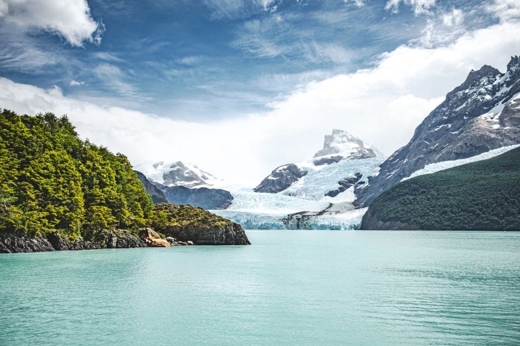
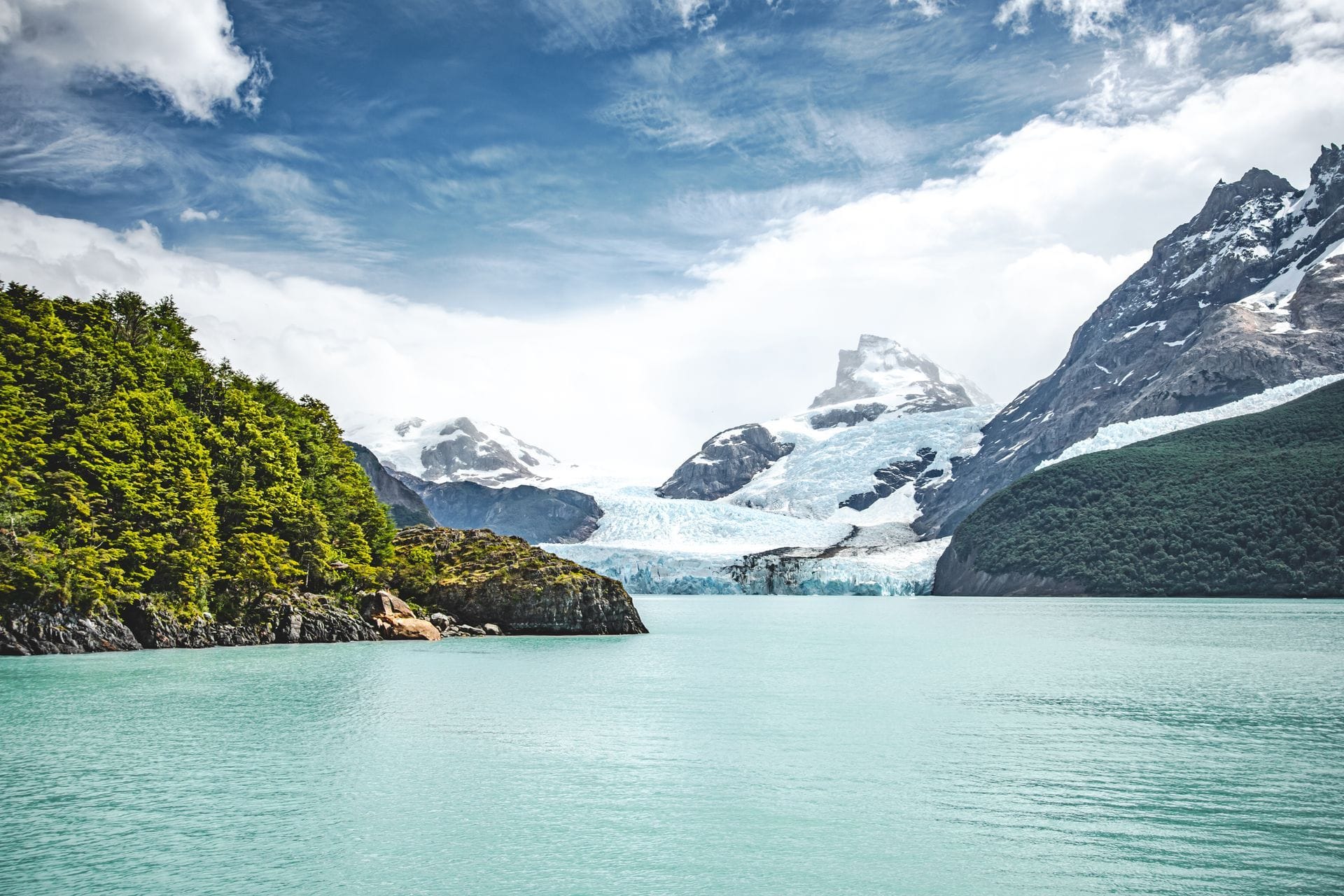
Lake Argentino is the largest lake located entirely within Argentina: it covers over 1.400 km² and reaches depths of around 500 meters at its deepest points. It is fed by the glaciers of the Southern Patagonian Ice Field and flows into the Atlantic Ocean via the Santa Cruz River. We have navigated it daily since 1980, and it is, quite literally, our home.
On the shores of this lake is El Calafate, and some of the largest glaciers in Los Glaciares National Park end in its western arms.
Lake Argentino in numbers
| Date | Price |
|---|---|
| In total area | More than 1.400 km², the largest of a lake entirely within Argentina |
| Max deep | Around 500 m, according to the most cited measurements |
| Town \ Province | Santa Cruz |
| Origin | Glacier: occupies a basin carved out by ice |
| Drain | Santa Cruz River, towards the Atlantic Ocean |
| Main contributions | Glaciers of the Southern Patagonian Ice Field and the La Leona River, which brings water from Lake Viedma |
There are larger lakes in Patagonia, but they are divided between Argentina and Chile. Therefore, it's important to be precise: Lake Argentino is the largest lake on this side of the border that is completely full.
How it was formed
Lake Argentino occupies a basin shaped by glaciers much larger than those of today. During the ice ages, enormous tongues of ice descended eastward from the Andes, carving out valleys and pushing rock and sediment into the ground. When the ice retreated, meltwater filled these depressions.
That history explains its shape: a broad main body to the east, over the steppe, and long, deep arms to the west, nestled between mountains, where active glaciers still end.
The arms of the lake
The lake has an open area facing El Calafate and several arms that extend into the mountains. For those who sail, the most important is the North Arm.
- The North Arm. You enter through the Devil's Mouth, a natural narrows, and it leads to the Upsala Glacier. It's the great route for the lake's icebergs. We tell you about it in our note on the North Arm of Lake Argentino.
- Glacier Bay. In the northern part of the lake, surrounded by the Spegazzini, Heim, and Peineta glaciers, lies the Spegazzini Base, accessible only by water.
- The South Arm. It heads southwest, into another part of the National Park.
Why is Lake Argentino turquoise?
The color of Lake Argentino comes from glacial flour: extremely fine rock particles ground down by glaciers as they slide across the lakebed. These particles remain suspended in the water and scatter the light, giving it its characteristic milky turquoise hue. Near the glacier fronts, the water appears grayer and more opaque; in the main body of the lake, under sunlight, it turns a deep blue. We explain this in detail in our article on why Lake Argentino has this turquoise color.
A name from 1877
The lake received its name in 1877, during the expedition of the expert Francisco P. Moreno, one of the great explorers of Patagonia and a key figure in the creation of the country's national parks.
Centuries earlier, its coasts were traversed by the Aonikenk, the southern Tehuelche, who moved between the steppe and the mountain range following the guanacos.
The lake as seen from a boat
After decades of sailing it, what matters most to us about Lake Argentino doesn't appear on the charts:
- The wind rules. The lake is large and open, and the west wind can raise waves in the main sector.
- The water is cold in all seasons. It feeds on ice, so it never warms up like a lowland lake.
- It changes color throughout the day. The same stretch can appear gray, green, or turquoise depending on the sky and the amount of sediment.
- The icebergs are moving. No two voyages are the same in the North Arm, because the wind and currents rearrange the ice blocks.
Our fleet of aluminum catamarans, such as the Quo Vadis, with a capacity for 300 passengers, or the Campbell, incorporated in 2024, is designed for these conditions, with enclosed lounges and exterior decks for photography.
Sail across Lake Argentino to the glaciers
The All Glaciers Navigation departs from Puerto Punta Bandera, 47 km from El Calafate, and travels across the lake for 7 hours: Boca del Diablo, icebergs and Upsala Glacier, Seco Glacier, Heim Glacier, Peineta Glacier, and Spegazzini Glacier, with disembarkation at Spegazzini Base. Check availability and current rates on the tour's website.
FAQ
What is the largest lake in Argentina?
Lake Argentino is the largest lake located entirely within Argentine territory, covering more than 1.400 km². Other, larger Patagonian lakes are shared with Chile.
How deep is Lake Argentino?
At its deepest points it reaches around 500 meters in depth, according to the most cited measurements.
Where does Lake Argentino drain into?
Lake Argentino drains into the Atlantic Ocean through the Santa Cruz River.
Is it possible to navigate Lake Argentino to the glaciers?
Yes. The All Glaciers Navigation departs from Puerto Punta Bandera, 47 km from El Calafate, and travels across the lake to the Upsala, Seco, Heim, Peineta and Spegazzini glaciers, with disembarkation at the Spegazzini Base.


