

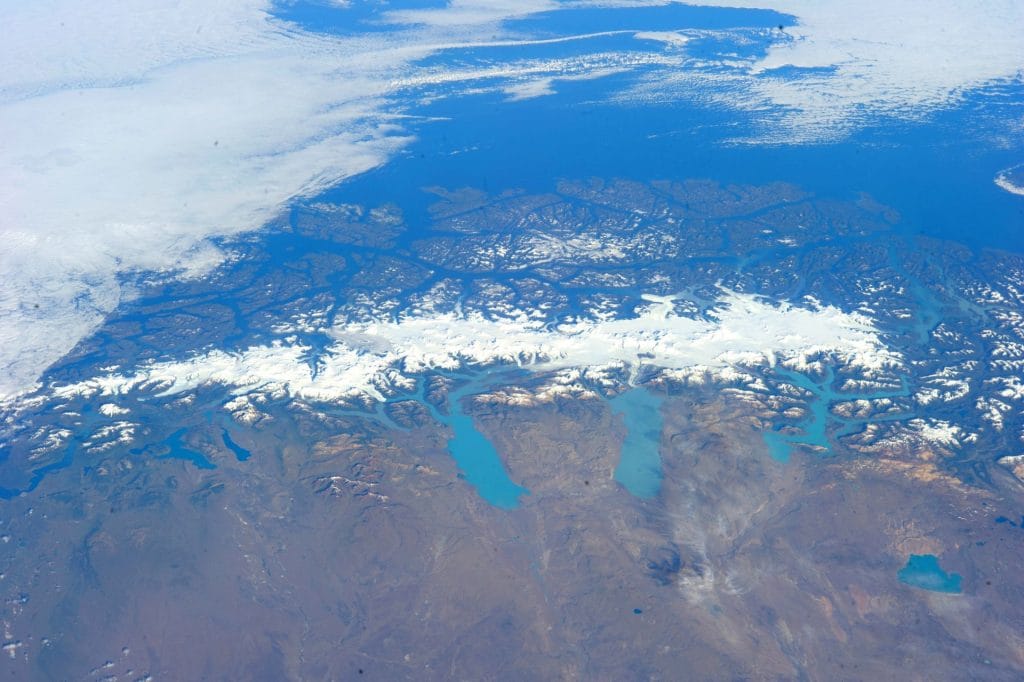
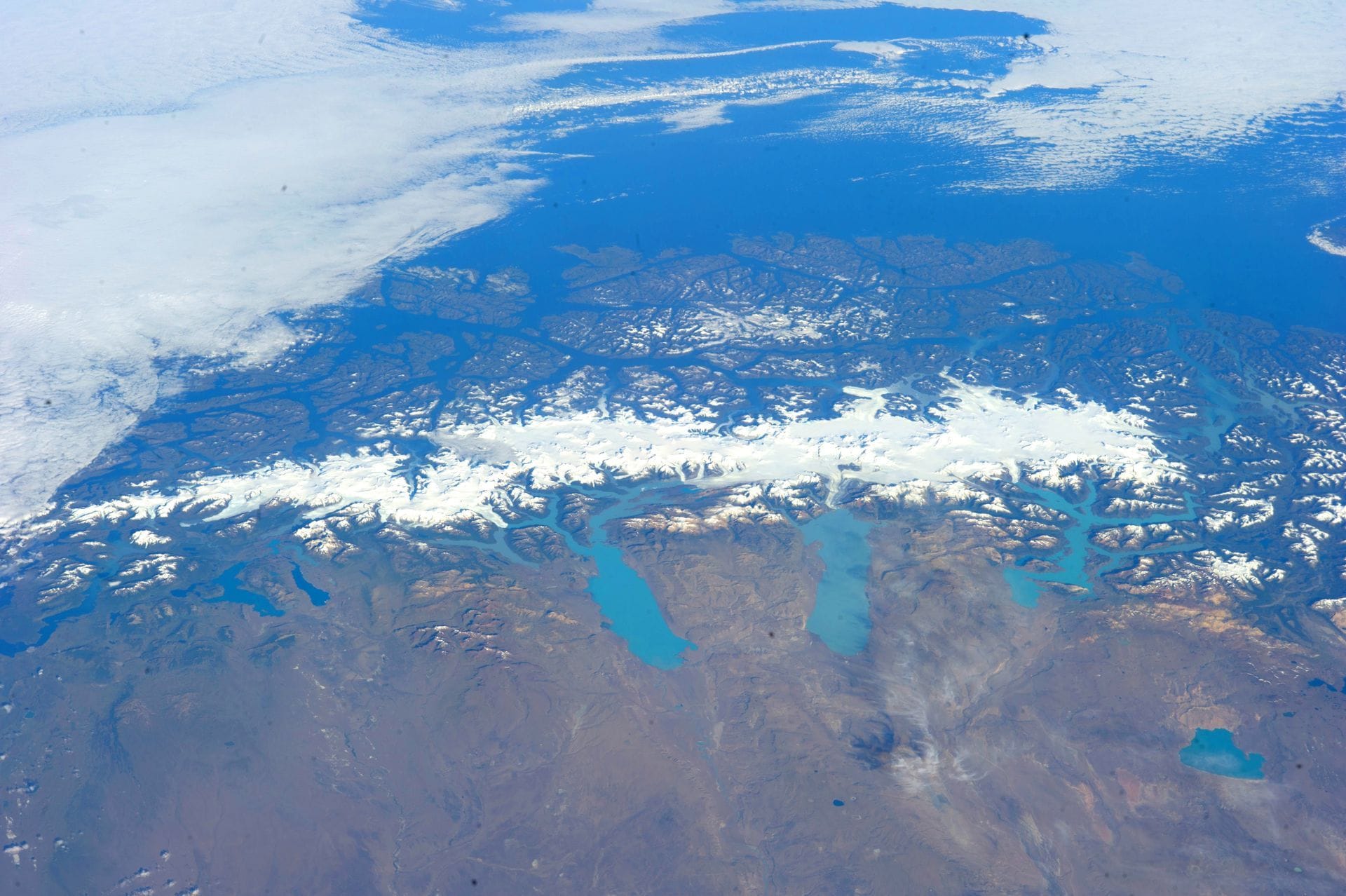
The history of Los Glaciares National Park begins in 1937, when the Argentine government created it to protect the large lakes and glaciers of the Santa Cruz mountain range. In 1981, UNESCO declared it a World Heritage Site. Today, it covers 726.927 hectares and is the largest national park in Argentina.
We've been part of that story since 1980, when we became the first privatization of lake services by the National Parks Administration in the country. This is the park's timeline told from the water, where we spend our days.
Before the Park: Explorers on Lake Argentino
Long before any map existed, the region was the territory of the Aonikenk, the southern Tehuelche people, who roamed the steppe following the guanacos. Europeans arrived late to these lakes. At the end of the 18th century, the explorer Antonio de Viedma reached the lake that now bears his name, at the foot of what would later become El Chaltén.
A century later, in 1877, Francisco Pascasio Moreno reached the shores of the great southern lake and named it Lago Argentino. Subsequent expeditions, many of them scientific, named the glaciers: Upsala after the Swedish university that promoted glaciological studies in the area, and Spegazzini in honor of the botanist Carlos Spegazzini. We explore the origin of each name in the article on glacier names.
1937: the creation of Los Glaciares National Park
In 1937, the national government created a network of parks in Patagonia with two objectives that sound modern today: to conserve exceptional landscapes and to assert the State's presence in a sparsely populated frontier region. Los Glaciares National Park was one of them. It extends westward across the continental ice sheet to the border with Chile, and within its boundaries lie the two large lakes, Lake Argentino and Lake Viedma, with their inlets and bays.
For decades the Park was a remote place. El Calafate was a small settlement on the southern shore of the lake, and reaching the glaciers required time, knowledge of the terrain, and boats prepared for a cold, windy lake with floating ice.
1980: the beginning of concessioned navigation
In 1980, the National Parks Administration decided to grant a concession for a lake service to a private company for the first time, and that company was us. Behind it all was a longer family history: René's grandfather, our founder, had arrived in Patagonia in 1886. When El Calafate was still a secret known only to a few, we bet that the world would want to see these glaciers from the water.
Since then, we have operated within the Park's regulations, prioritizing passenger safety and environmental protection for every trip. We explain this in more detail in the story of the Park's first lake concession.
1981: World Heritage Site
A year later, in 1981, UNESCO inscribed Los Glaciares National Park on the World Heritage List. This recognition is based on its natural value: the Southern Patagonian Ice Field, which the Park largely protects, is the third largest freshwater reserve on the planet and is shared with Chile. The Park's 47 largest glaciers originate from this ice.
| Year | Milestone |
|---|---|
| Late 18th century | Antonio de Viedma arrives at the lake that today bears his name. |
| 1877 | Francisco P. Moreno names Lake Argentino |
| 1937 | Creation of Los Glaciares National Park |
| 1980 | First lake concession in the Park: Only Patagonia |
| 1981 | UNESCO declares it a World Heritage Site |
| 2019 | Inauguration of the Spegazzini Refuge |
| 2024–2025 | Walkways, the De Agostini viewpoint and a new viewpoint at Spegazzini Base |
The Park today: two zones, one ice
The Park is accessed through two entrances. In the south, from El Calafate, Lake Argentino leads to the Upsala, Seco, Heim, Spegazzini, and Peineta glaciers, among others. In the north, from El Chaltén, Lake Viedma leads to the Viedma Glacier, the largest in the Park. Both areas share a common origin: all of this ice originates from the same continental ice field.
In recent decades, the Park has added public infrastructure designed to accommodate more visitors without damaging the landscape. In our case, the Spegazzini Refuge opened in 2019 in Glacier Bay, and in December 2024 we inaugurated 350 meters of walkways leading to the De Agostini Lookout, followed by a higher lookout closer to the glacier in March 2025. Everything is 100% accessible.
Why knowing the history of the Park changes the visit
Sailing across Lake Argentino, knowing that Moreno saw it without boats or docks, or that Lake Upsala is named after a university that came to measure it, transforms the landscape into a story. Our guides share it on board, and the interpretive stations at Spegazzini Base cover the history, glaciology, fauna, and flora of the area. For a practical overview of the protected area, you can also consult our guide to Los Glaciares National Park.
Explore history from the lake
The All Glaciers Navigation tour crosses the northern arm of Lake Argentino to the Upsala and Spegazzini Glaciers, with disembarkation at Spegazzini Base. Check availability and current rates on the All Glaciers Navigation website.
FAQ
When was Los Glaciares National Park created?
Los Glaciares National Park was created in 1937, as part of a group of Patagonian national parks promoted by the Argentine State.
Since when has it been a World Heritage Site?
UNESCO inscribed it on the World Heritage List in 1981, for the natural value of its glaciers and the Southern Patagonian Ice Field.
What is the surface area of Los Glaciares National Park?
It covers 726.927 hectares and is the largest national park in Argentina. It protects 47 major glaciers.
Who named Lake Argentino?
Francisco Pascasio Moreno named it Lago Argentino in 1877, during his explorations of southern Patagonia.
Since when have there been concessioned navigation services in the Park?
Since 1980, when National Parks granted Solo Patagonia the first lake services concession in the country.

