

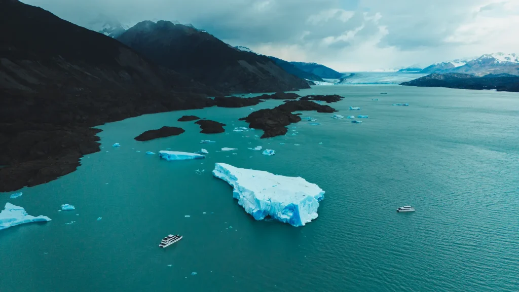
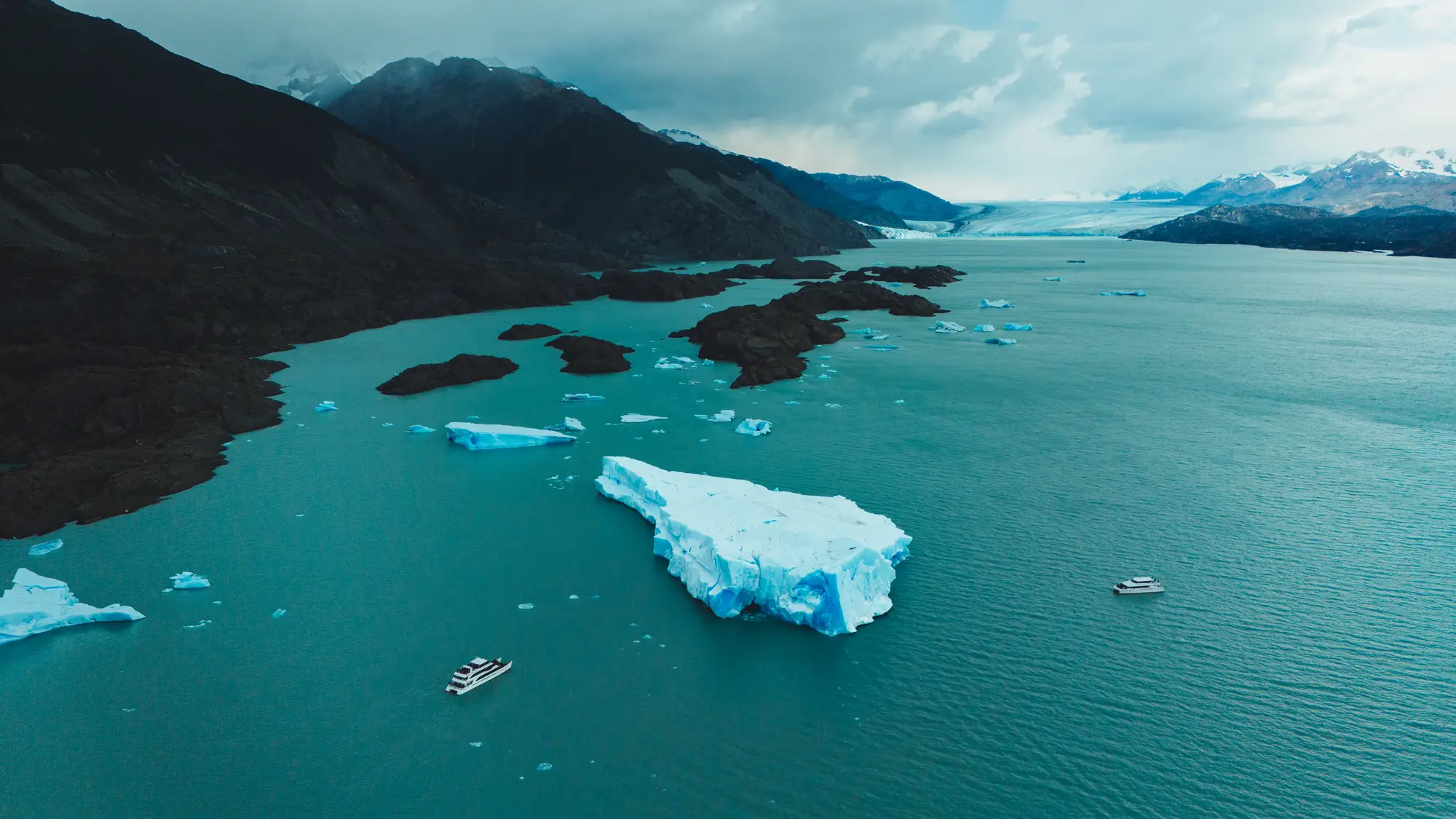
The origin of Lake Argentino, like that of Lake Viedma, is glacial: both occupy basins carved out by enormous tongues of ice that descended from the Andes Mountains during the Quaternary glaciations. When the ice retreated, the meltwater filled these depressions, contained in part by the moraines left behind by the glaciers themselves.
We've been sailing Lake Argentino since 1980 and Lake Viedma from the Bahía Túnel Port, and in both cases the landscape tells the same story to those who know how to look at it. This article is to help you understand it.
Origin of Lake Argentino: the ice that excavates
A glacier doesn't just slide; it drags rocks and sediments along its base, which act like giant sandpaper. Over thousands of years of movement, this abrasion deepens and widens valleys. Furthermore, the ice tears away blocks of bedrock as it freezes in crevasses. The result is U-shaped valleys with steep walls and wide bottoms, quite different from the V-shaped valleys carved by rivers.
During the ice ages, the ice that now forms the Southern Patagonian Ice Field was much more extensive. Its tongues advanced eastward, across what is now steppe, and carved out the basins that would later become lakes. In some sections, the ice deepened the valley below its outlet level, which is why some parts of the lake are so deep.
A story of several ice ages
There wasn't just one ice age, but several, with advances and retreats over hundreds of thousands of years. Each advance reshaped the work of the previous one. The last major advance, estimated to have occurred around 20.000 years ago, left many of the landforms we see today. Afterward, as the climate warmed, the glaciers retreated toward the Andes Mountains, and water filled the space they left behind.
Today's glaciers, such as the Upsala or the Spegazzini, are the heirs of those giant tongues: they continue to descend from the same ice field and continue to shape the western arms of the lake.
The moraines, the lake dikes
Everything the glacier tears away, it transports and eventually deposits. These accumulations of rock, gravel, and sand are called moraines. Those that form at the glacier's front, when the ice remains in the same position for a while, become arcs of ridges that mark how far it has advanced.
When the ice retreats, these arches can act as natural dams, helping to contain meltwater. Geologists use the moraines surrounding Patagonian lakes to reconstruct how far the ice advanced during each glacial period. We explain in detail what moraines are and how to recognize them.
Lake Viedma, the brother of the north
Lake Viedma had a similar origin, with its own tongue of ice descending from the Andes Mountains. Today, it continues to receive the Viedma Glacier, the largest in Los Glaciares National Park, and its waters flow through the La Leona River into Lake Argentino. From there, all of that water reaches the Atlantic Ocean via the Santa Cruz River. These two lakes are connected by the same meltwater system.
| Argentino lake | Lake Viedma | |
|---|---|---|
| Origin | Glacier | Glacier |
| Glaciers that feed it | Uppsala, Spegazzini, Heim, Seco, among others | Viedma, among others |
| Drain | Santa Cruz River, towards the Atlantic | La Leona River, towards Lake Argentino |
| Town on its shore | El Calafate | Near El Chaltén |
| Port of our voyages | Punta Bandera, 47 km from El Calafate | Tunnel Bay, 18 km from El Chaltén |
More information about each one in Lago Argentino: lake data and in Lago Viedma, the great turquoise lake.
How to read the origin of the lake from the boat
On the All Glaciers Navigation, the glacial landscape is visible throughout the entire journey:
- Long, deep arms. The North Arm runs deep between mountains like a fjord: it is an ancient flooded glacial valley.
- The Devil's Mouth. The narrow passage leading into the North Arm shows how the lake narrows between rocky slopes. We describe it in Devil's Mouth.
- Polished slopes. On the rocks of the banks, smooth, rounded surfaces can be seen, worn down by the passage of ice.
- The color of water. The milky turquoise comes from glacial flour, rock ground by glaciers that are still at work.
- Glaciers in action. The Upsala and Spegazzini show the process in the present time: the ice reaches the lake and breaks off in icebergs.
A lake that is still changing
Lake Argentino is not a finished landscape. Where glaciers retreat, water expands and new shores appear, bare rock that vegetation begins to colonize. The retreat of the Upsala Glacier, for example, has opened sections of the North Arm that were previously covered in ice. Sailing these waters is to witness another chapter in a story that began with the ice ages.
Navigate a glacial valley
The All Glaciers Navigation tour travels along the North Arm of the glacier to the Upsala and Spegazzini glaciers, from 8:30 a.m. to 16:00 p.m. (from April to August, from 9:30 a.m. to 17:00 p.m.), with daily departures from September to April and every other day from May to August. Check availability and current rates on the All Glaciers Navigation website.
FAQ
What is the origin of Lake Argentino?
It is of glacial origin. It occupies a basin carved out by large tongues of ice during the Quaternary glaciations, which filled with meltwater when the ice retreated.
Does Lake Viedma have the same origin?
Yes. It also occupies a basin shaped by ice and still receives the Viedma Glacier. It drains into Lake Argentino via the La Leona River.
How long ago was Lake Argentino formed?
Its basin is the result of several ice ages. The last major advance of the ice is estimated to have occurred around 20.000 years ago, and the lake took its current shape as the glaciers retreated.
Where does Lake Argentino drain?
In the Santa Cruz River, which crosses the province eastward and flows into the Atlantic Ocean.


